
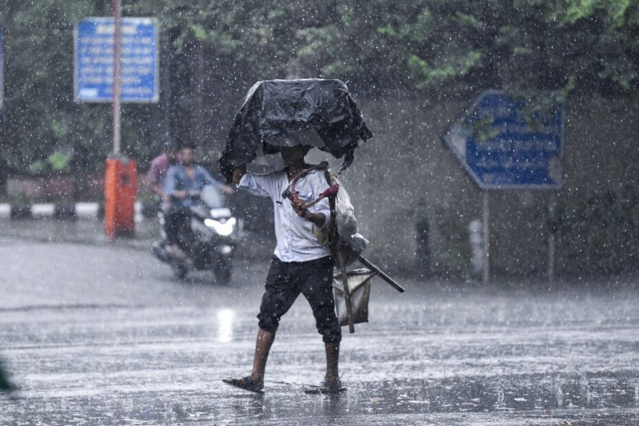
North India faced a disruptive start to the week. Dense fog blanketed Delhi-NCR and parts of the plains, while a fresh western disturbance brought rain and snow to the hills. Flights and trains were delayed, highways slowed to a crawl, and schools in some states kept winter schedules flexible. The India Meteorological Department (IMD) cautioned of more rain or snow in the Western Himalayan Region through February 3, with low-visibility conditions in the plains during early hours. A “western disturbance” is a moisture-laden weather system moving in from the Mediterranean that triggers winter rain and snow over North India.
Flights shift to low-visibility ops; passengers face delays
Delhi’s Indira Gandhi International Airport moved to CAT-III operations on Monday, which allow landings in very poor visibility but often slow the schedule. Multiple airlines issued advisories and asked passengers to check their flight status before leaving for the airport. Morning visibility fell sharply across Delhi-NCR, leading to cascading delays. CAT-III is a precision landing system that lets aircraft land when runway visual range is extremely low.
Trains and roads feel the strain
Rail services into the capital also ran late as near-zero visibility hit signalling and speeds. Media and broadcaster bulletins flagged dozens of delayed arrivals and warned of continuing disruptions if fog persists at daybreak over the next 48 hours. Highway authorities urged slower speeds, hazard lights, and staggered departures during peak fog windows.
Hills see fresh snow; avalanche advisories issued
Higher reaches in Jammu & Kashmir, Himachal Pradesh and Uttarakhand reported fresh snowfall under the active western disturbance. Uttarakhand authorities issued an avalanche warning for five hill districts, placing Uttarkashi and Chamoli under Danger Level-2. Tourists and trekkers were advised to avoid high-risk slopes and check local guidance before travel.
Schools, offices and daily routines adjust
Several states had already stretched winter breaks or shifted timings in mid-January due to a severe cold wave and dense fog. While many institutions have reopened, local administrations continue to tweak hours for younger classes and urge remote options on the worst days. Parents have been told to follow district-level orders and school circulars as conditions vary by city and block.
What the IMD projects next
The IMD’s latest bulletin points to light to moderate rain or snow over the Western Himalayan Region through February 3, with thunderstorms, lightning and gusty winds at times. In the northern plains, dense fog is likely during early mornings, especially over Delhi, Haryana, Punjab, Rajasthan and Uttar Pradesh. Commuters should expect intermittent improvement by late morning, then fresh fog formation overnight.
How to plan travel and stay safe
Air: Track airline messages and buffer extra time at the airport when CAT-III is active; rebook to mid-day slots when possible. Rail: Check live status before heading to stations and keep connections flexible. Road: Avoid dawn drives, keep low-beam lights on, use hazard lights only when stationary, and maintain longer following distances. In the hills, heed avalanche and snowfall advisories and carry winter gear and chains where required. These steps align with standard safety practices highlighted by airport authorities and local administrations during low-visibility spells.
North India’s weather pattern remains active. As the western disturbance moves east and weakens mid-week, fog windows will still challenge early travel even if daytime skies clear. Keep an eye on IMD updates and local advisories to adjust plans with minimal disruption.